SAMPLE PROJECT
Hydrographic Surveys at the Port of Brighton
Multibeam Hydrographic Surveys, Tidal data collection and analysis along with Land Surveys for survey control establishment on site.
-
Location
Port of Brighton, La Brea, Trinidad
Date executed
Contract executed in September 2023, project scheduled for a duration of 18 months
Client
La Brea Industrial Development Company (LABIDCO)
-
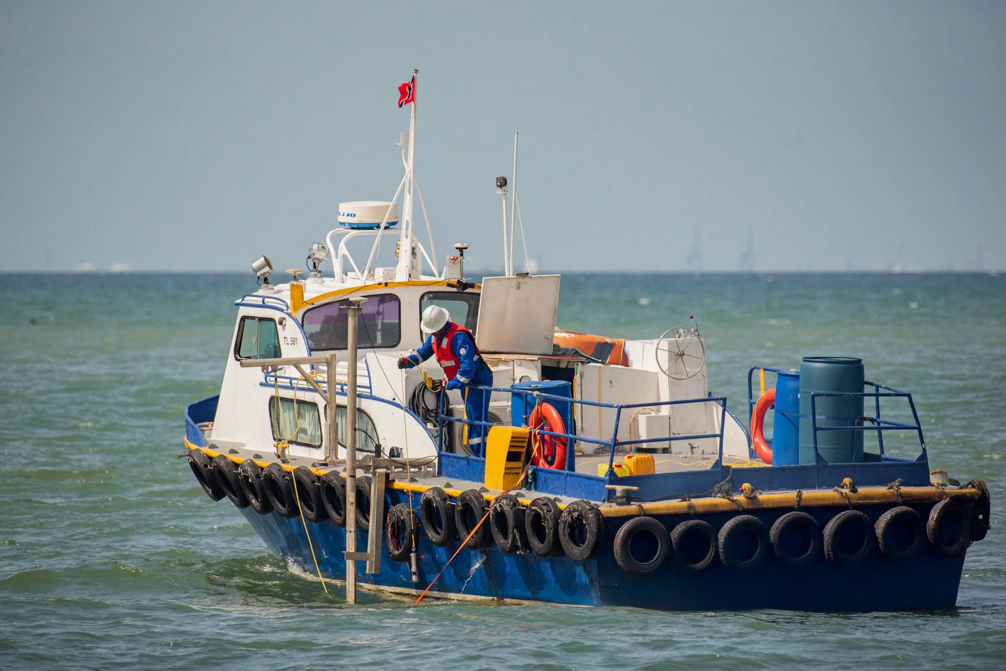
OSL embarked on a comprehensive surveying project, executing five multibeam surveys of the channel and turning basin at strategic intervals. Each survey was delivered on schedule without safety incidents. Recognizing the dynamic site conditions and geomorphological concerns, the team implemented additional positioning checks and level loops to monitor potential deformation throughout the project duration.
Following each survey, volume computations were meticulously performed, with dredge volume analysis and forecasts becoming an iterative process from the second survey forward. OSL’s operations flowed seamlessly around the port’s busy shipping schedule, ensuring no disruption to client activities.
The project faced initial challenges when two immobile derelict drilling rigs hindered vessel access. Undeterred, the team innovatively mapped perimeters and areas beneath the rigs using special sonar settings and precise close passes, then interpolated remaining data gaps to achieve complete volume calculations. The project culminated in comprehensive final reporting and detailed tidal data analysis.
Once on-site, OSL’s surveyors provided accurate positioning support for Cluster 37 conductor placement throughout the piling operations. The team successfully collaborated with third-party ROV contractors for subsea template positioning, demonstrating seamless integration with project partners.
Following completion, OSL conducted a thorough As-Built survey before demobilization. The project concluded with a detailed survey report documenting all phases; from mobilization and calibration through field execution, delivered safely under the oversight of construction engineers and client representatives.
Following each survey, volume computations were meticulously performed, with dredge volume analysis and forecasts becoming an iterative process from the second survey forward. OSL’s operations flowed seamlessly around the port’s busy shipping schedule, ensuring no disruption to client activities.
The project faced initial challenges when two immobile derelict drilling rigs hindered vessel access. Undeterred, the team innovatively mapped perimeters and areas beneath the rigs using special sonar settings and precise close passes, then interpolated remaining data gaps to achieve complete volume calculations. The project culminated in comprehensive final reporting and detailed tidal data analysis.
Hydrographic
Surveys
OSL provides comprehensive hydrographic survey services including multibeam bathymetry surveys, pre- and post-dredge surveys, and tidal data collection and analysis. Our surveys deliver precise seabed depth measurements to strict standards and survey class specifications, supporting dredging operations, port development, and marine infrastructure projects.

