
Land and Coastal Surveys
OSL’s terrestrial survey capabilities support land development, coastal management, and environmental monitoring projects. Our services include topographic surveys, baseline monitoring, profiling, progress mapping, verification surveys, and as-built documentation for coastal and terrestrial projects.

SAMPLE PROJECT
Coastal defense mapping and as-built surveys at Magdalena Grand, Tobago
Coastal and land topographic surveys, beach profiles and precise control establishment for baseline monitoring.
-
Location
Little Rockly Bay, Tobago
Date executed
Q1 2020
Client
CEP Limited
-
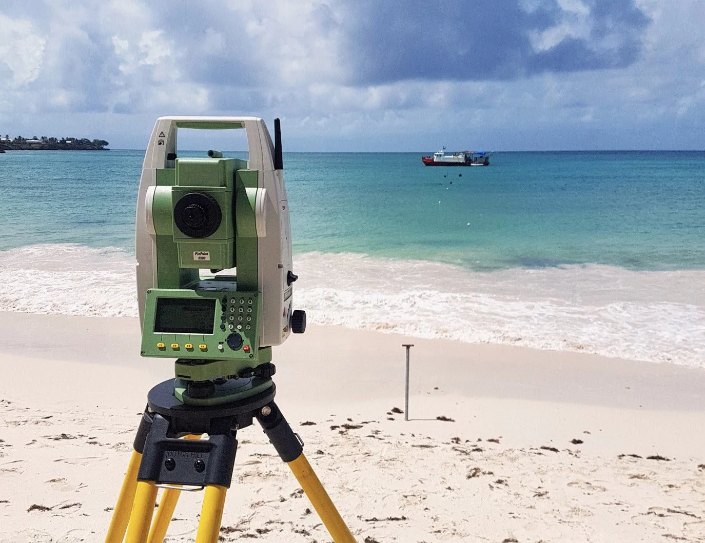
OSL performed a series of interim and then final verification surveys of four breakwater structures and three sill structures within Little Rockly Bay for the Magdalena Grand Beach Resort in Tobago. After periodic visits during construction for mapping for interim monitoring surveys, the project culminated with a final as-built and verification survey. This final three-day field campaign, in March 2020, leveraged optimal low tide conditions to maximize seaward data acquisition. Despite challenging sea states with 1-2m waves and mossy rock surfaces limiting access to breakwater toes, OSL achieved comprehensive coverage of all structures. RTK GPS techniques delivered centimeter-level accuracy with control point checks confirming 3mm vertical agreement. Data gathered and analyzed was sufficiently detailed to map potential scour zones, while landward areas showed areas of accretion. OSL mapped breakwater crest elevations, performed cross-sectional analysis and landward slopes via profiles to stations ashore.
OSL's rapid mobilization and adaptive survey methodology ensured the consulting engineers received definitive validation data within 72 hours, enabling immediate construction quality verification and confirming all critical infrastructure met the project’s specifications and operational tolerances.