
Precise Industrial Measurements
Our precision measurement services encompass aerial photogrammetry, terrestrial laser scanning, aerial LiDAR surveys, vessel and dynamic object offset surveys, sensor calibrations, and dimensional control surveys. We deliver high-density point cloud data and 3D models to support verification, calibration, and precise measurement requirements.

SAMPLE PROJECT
RV Gyre vessel calibrations and dimensional control survey
The performance of a survey sensor calibrations, verifications and dimensional control for the RV Gyre. This included, DGNSS Integrity checks, Gyro Calibration, Attitude sensor validations and offset surveys.
-
Location
Tembladora Energy Logistics, Chaguaramas, Trinidad
Date executed
November 2024
Client
TDI Brooks International
-
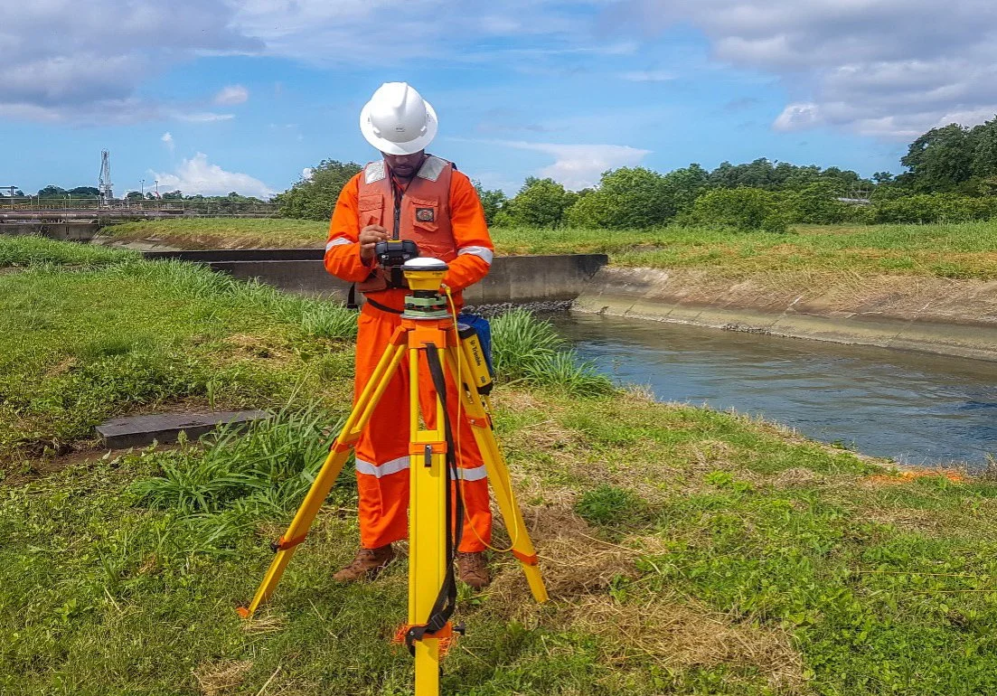
OSL was commissioned to perform critical vessel offset measurement, calibration and validation procedures for multiple survey sensors aboard the RV Gyre. The comprehensive scope encompassed Gyrocompass calibrations for mobilized heading reference systems, motion reference unit checks for roll and pitch accuracy, and GPS positioning integrity checks.
The team established a precise terrestrial reference network using static GPS observations between two multiple survey control points, leveraging continuous operating reference stations (CORS) within Trinidad and Tobago. This foundation enabled high-accuracy angular offset computations essential for system validation. OSL survey team’s terrestrial measurement techniques ensured the acquisition of high-quality datasets crucial for accurate system corrections and future survey operations aboard the research vessel.
Fieldwork spanned a period of two (2) days while the vessel was alongside port in Chaguaramas with the results provided almost instantaneously for client review and followed up with final reporting and computation documentation.
OSL's methodical approach, rapid mobilization, and innovative survey solutions delivered definitive results that enabled the RV Gyre to proceed with confidence to its scheduled survey operations. Our swift turnaround minimized costly port time while providing comprehensive validation data, which in turn assured all stakeholders that all critical navigation and positioning sensors met or exceeded stated project specifications.