SAMPLE PROJECT
Firebird LNG Pipeline Route Geophysical Survey
Geophysical route survey for the proposed pipeline for Firebird LNG which included Sidescan Sonar, Sub-Bottom Profiler, Magnetometer and Multibeam Echosounder sensors with supporting positioning and oceanographic sensors
-
Location
Offshore Suriname
Date executed
January to March 2023
Client
Environmental Sciences Limited
(ESL)/ Firebird LNG -
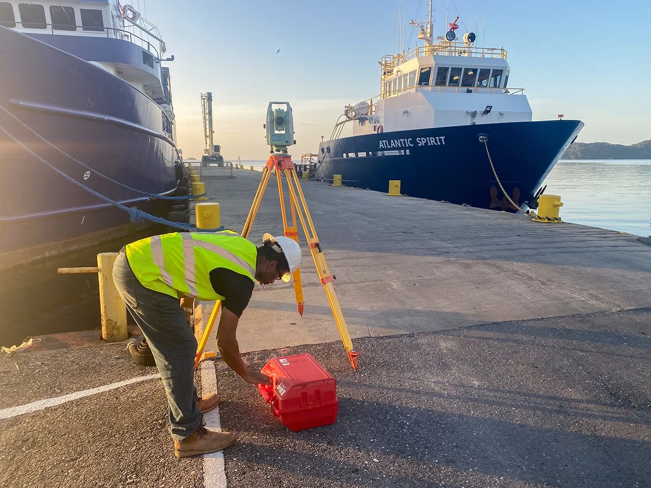
From January to March 2023, OSL executed a full 24-hr operation, multi-sensor geophysical pipeline route survey offshore Suriname, covering approximately 2,000 kilometers for a proposed route, artificial island, and platform location. The project achieved remarkable success with zero technical downtime across 8,600 man-hours and maintained a perfect safety record.
The MV Atlantic Spirit, mobilized from Chaguaramas, Trinidad, completed sea trials and offshore calibrations before sailing to Suriname for clearance and operations. This landmark project presented significant logistical challenges, with operations based along the remote Nickerie River in Nieuw Nickerie, hours from the nearest international airport with limited local services.
Despite the isolation that complicated technical and equipment support, OSL’s careful planning and precise execution, inclusive of crew changes, delivered flawless results in this demanding offshore environment.
Multi-Sensor
Geophysical Surveys
Our geophysical survey capabilities serve the energy, telecommunications, and coastal engineering sectors through comprehensive site investigations. Services include site surveys, debris clearance surveys, shallow hazard assessments, pipeline and cable route surveys, depth of burial surveys, as well as high-resolution seismic surveys for drilling hazards and seabed stratigraphy mapping.