Core Services
-
From detailed hydrographic mapping to complex offshore positioning operations, our services span the complete spectrum of marine and terrestrial survey disciplines. Our integrated approach combines cutting-edge technology with deep technical expertise to deliver accurate, reliable results that support critical decision-making across multiple industries.

QA/QC, Technical and Operational Oversight
OSL offers independent technical oversight and quality assurance services, including document and scope reviews, verification surveys, data analysis, independent computations, and offshore client representation. Our senior personnel provide expert oversight to ensure project specifications and quality standards are met.
“All services were always done effectively with continuous communication with us in ensuring activities were completed within schedule and budget.”

Hydrographic
Surveys
OSL provides comprehensive hydrographic survey services including multibeam bathymetry surveys, pre- and post-dredge surveys, and tidal data collection and analysis. Our surveys deliver precise seabed depth measurements to strict standards and survey class specifications, supporting dredging operations, port development, and marine infrastructure projects.

Multi-Sensor
Geophysical Surveys
Our geophysical survey capabilities serve the energy, telecommunications, and coastal engineering sectors through comprehensive site investigations. Services include site surveys, debris clearance surveys, shallow hazard assessments, pipeline and cable route surveys, depth of burial surveys, and high-resolution seismic surveys for drilling hazards and seabed stratigraphy mapping.

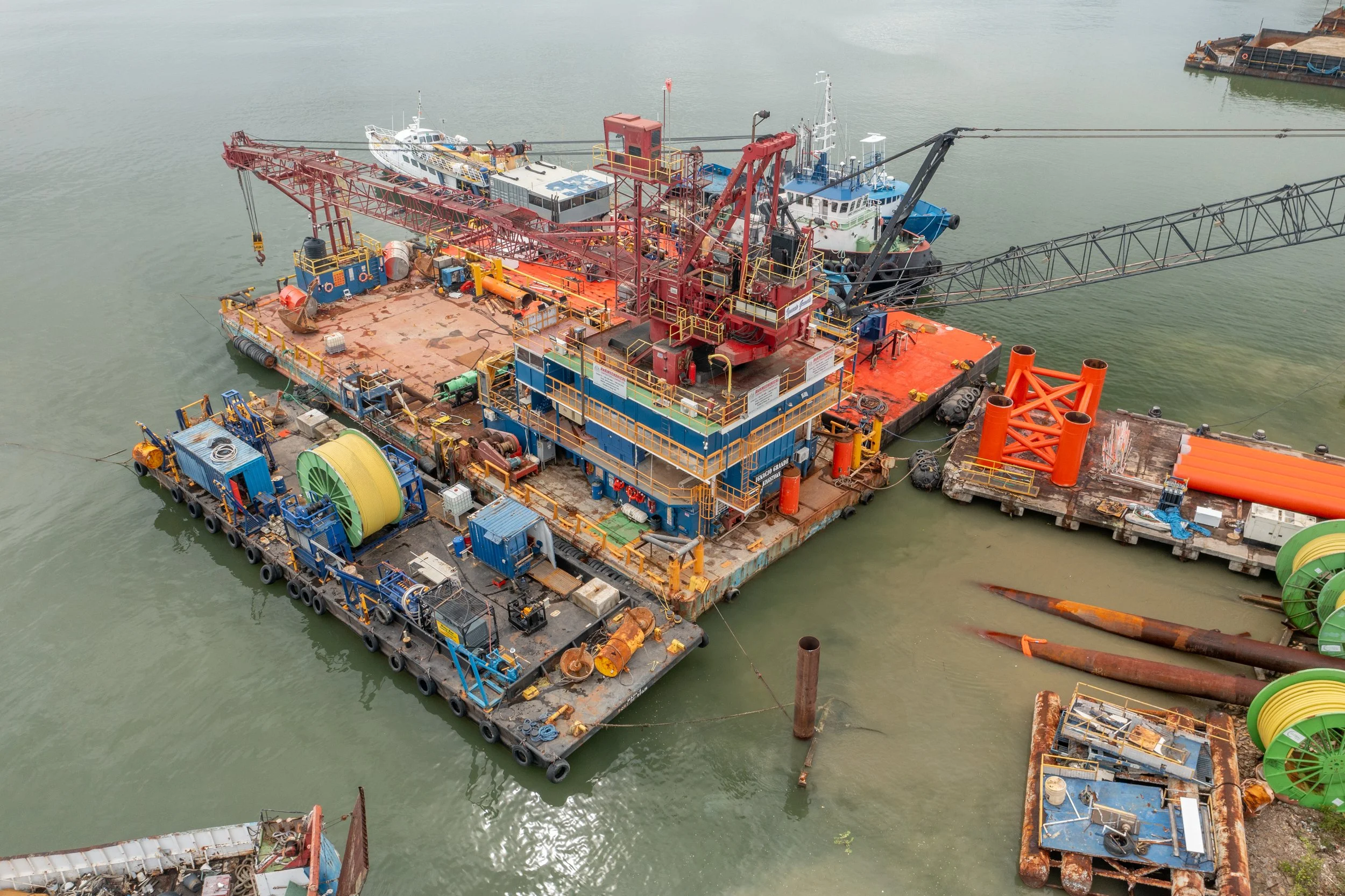
Offshore Positioning
OSL specializes in precision positioning services for marine construction operations, including barge and anchor handling tug positioning, drilling rig positioning, and positioning support for piling activities involving conductors, jackets, and topsides installations.

Precise Industrial Measurements
Our precision measurement services encompass aerial photogrammetry, terrestrial laser scanning, aerial LiDAR surveys, vessel and dynamic object offset surveys, sensor calibrations, and dimensional control surveys. We deliver high-density point cloud data and 3D models to support verification, calibration, and precise measurement requirements.

Land and Coastal Surveys
OSL’s terrestrial survey capabilities support land development, coastal management, and environmental monitoring projects. Our services include topographic surveys, baseline monitoring, profiling, progress mapping, verification surveys, and as-built documentation for coastal and terrestrial projects.

Survey Support Services
OSL provides specialized support to international subsea contractors, offshore construction entities, and multinational survey operators requiring additional expertise, personnel resources, or operational support. Services include offshore staffing, remote data processing, and technical consulting for hydrographic and geophysical datasets.